Above Deep Cove in Middle Fiordland lies a striking mountain called Mt Troup (1512m) with an enchanting lake nestled at the bush line on its northern flank. Last year, some of our team recut the track from Hanging Valley so I was keen to use this to traverse Troup.
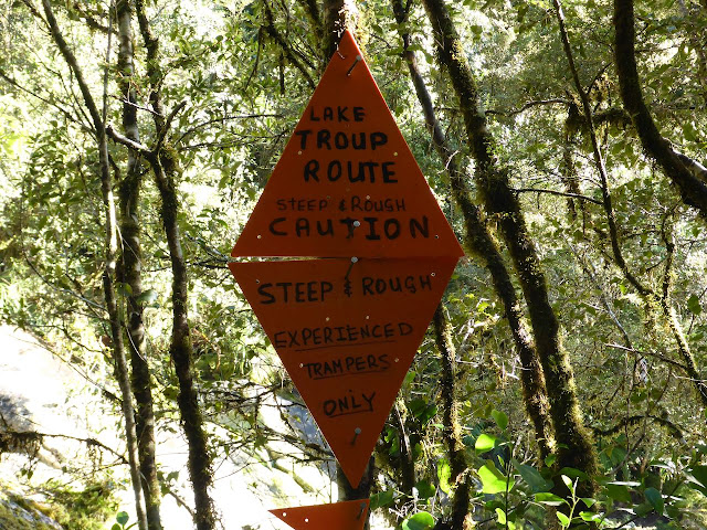
On 8th October, Sally, David and I boarded the 6.30 am Meridian boat over to West Arm. The weather was fine and the omens favourable. Bob Hughes met us on the other side and whisked us over to Deep Cove. By 9.00 am we were ready to start up the track. Bob asked us for a photo and offered us a radio but I declined as we had 2 PLB’s with us. I, matter of factly, told him to give us 7 days before sending out any search parties and true to his word he later told Alastair and Annabel that “Stanley said to give him another 7 days if they did not return by Sunday evening and that I did not want to hear the sound of a helicopter”.Our packs were relatively light this time minus packrafts so we reached the bush line in just over 3 hours. The day was sunny with a cool breeze. There are some waratahs marking the route from the open slip in the bush through clearings to the bush line. I carried up a large orange triangle and some wire and we put it up on a waratah.
Ahead of us was the summit of Troup with about 200m of snow which I did not expect. Earlier I had been told there was little snow up there so had decided not to take crampons or ice-axes. We had lunch in the tussock and then carried on towards Troup. We sidled well above lake Troup to a buttress on the right-hand side. This was easily ascended to snow slopes. Then it was a sidle out left and upwards through soft snow often knee deep.
The summit was specious with great views down Doubtful Sound, and back to the Black Giants to the south. It was cool on the summit and overcast so we did not linger. A sharp snow ridge slopes off to the SW ending in a huge steep buttress. To avoid this, we descended extensive moderately angled snow slopes towards the Lyvia. I still could not see around to our ridge route until down about 300m but all was straightforward to a lovely campsite at around 1100m. David and Sally were powering along.
We set up camp on a dry spot beside some tarns. Below us was the Lyvia Valley and beyond the impressive Black Giants. It was a cool night with a frost and ice on the tarns. The next day dawned fine, a cerulean sky and delightful tussock ridge in front of us extending to Livia Tarn in the distance. There were many up and downs through some impressive ‘gaps’ cutting across the long ridge. One necessitated a scrub bush downwards into a gully and then an easy climb out. Further on, we came up against some cliff lines which we pitched. Optimistically, I told the others we’d be at Livia Tarn by lunchtime but then we came onto an exceedingly steep buttress on peak 1249m. Steep scrubby slopes dropped down to what looked like an overhanging wall and there 15-20m below that was the continuation of the easy ridge. I cursed my skinny rope which clearly would not reach the ridge below. Off to the right was a steep gully which I downclimbed for a short distance and spent some time pondering the possibilities. I might have given it a go by myself but there was no way I could take Sally or David down those vertiginous slopes.
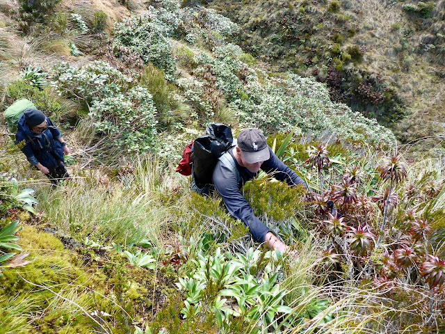
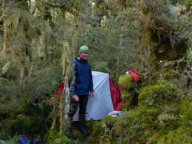
The view down to the valley floor in the creek to the north, several hundred metres below, was awesome and seemed to be bordered by vertical rock. I could not see any possibility of down climbing it. About a kilometre back was a gap at 900m so we decided to head down from there into a creek heading north to the aforementioned valley. The map looked fine but it was a brutal effort with a huge drop off to our left. It took us 2.5 hours to reach the valley floor at the junction of two creeks. We were fortunate to find enough space for our two tents.
Day 3 was fine and warm as we set off up the main creek. At first scrubby, this transited into open forest and took us to the bush line without any difficulty. From here easy tussock slopes led to peak 1145m where the views were outstanding in all directions. Below us was Livia Tarn. To our right was an awesome drop to a valley leading to the south end of Halls Arm over a thousand metres below. A striking mountain called Mt Crowfoot dominated the southern aspect. Some keas paid us a visit. The descent to Livia was easy. We walked around the lakes and stopped for lunch at the bush edge. We pulled out our sodden tents to dry them. A weka came to check us out.
Deer trails led down through the scrub until we got into some tall crown ferns, tree fuschia and beech forest. 3 hours later, we arrived at on old slip on the TR covered in Olearia. We’d done enough that day so we set up camp after some gardening. It clouded over and that evening the rain arrived. For the next 40 hours we were tent bound but by Monday morning it had eased off and as the rivers did not look too swollen, we pushed down valley. It was a long day tramping along the wet valley floor trying to find deer trails, crossing swampy clearings until we struck an amazing deer trail that dropped 200m along a steep descent to the junction of the main Lyvia and its south branch. This branch looked quite deep but by holding onto each other and pushing across a stony bottom where the current slowed, we made it across even though it was waist deep.
Another hour took us to the Lyvia track and later the Wilmot Pass road. David had gone ahead and PC met us in the vehicle to drive us back to the hostel. The next day we were on the traplines.
Acknowledgment: To David and Sally for a sterling effort in somewhat trying conditions.


No comments:
Post a Comment