I could see a razor-sharp spur dropping down the face from
the ridge and on the west side of it, steep snow grass slopes led to a tussock
terrace 300m below. This was what I’d seen on Google Earth. I peered at it for
a long time assessing our ability in down climbing such a steep face with our
big packs. We went on for a little while as Moirs and Danilo’s description
suggested climbing higher to find a route down the face further along. However,
I remained sceptical and doubled back and told Gavin we should try the spur
instead. Then I cautiously started down the face with Gavin following. The
utmost care was required. The slightest error would end very badly.
This summer we did a tramping-packrafting trip up
the Wilkin, over Pearson Saddle and down the Waiatoto River to the coast. Since
then we were keen to do another trip in Southwestland and decided on the
Arawhata. But where to start? After studying the map, I decided the most practical
route would be up the West Matukituki Valley to Matukituki Saddle, down the
Waipara Face of Lake Bonar and out the Waipara and Arawhata rivers to Neils
Beach. However, the Waipara face was relatively unknown and there had been few
crossings of it. In 1863 Sir James Hector crossed the range from the West
Matukituki to the Waipara and Arawhata but had to retreat owing to bad weather
and the shortage of food. There had been a few crossings since then but none
with packrafts to my knowledge.
It was dark as I left Invercargill early on the morning of 6th
March on the drive to Arrowtown. There I met Gavin and we drove in convoy over
the Haast. As usual, we stopped at the Makarora Country Café for a coffee
before carrying on to Neils Beach. There we left his van outside Jimbo’s
backpackers and drove back to Wanaka to Gilbert Van Reenans place. Gilbert is a
legendary climber and good friend and had kindly offered to drop us off at
Raspberry Flat in the West Matukituki. It was around 4.30 pm before we arrived there.
We made it up to Aspiring Hut in less than 2 hours where we stopped for a bite
to eat. Then it was on to Shovel Flat where we camped among the trees. It was
grey and overcast, threatening rain.

Next morning a thick blanket of cloud hung over the valley
as we set out. It was a pleasant walk to Pearl Flat through the wet grass.
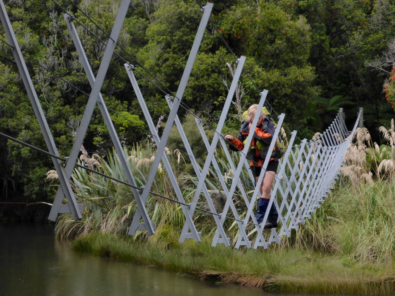
Further on, we came to a bridge over the Matukituki River leading to the new
track on the true left of the river to the headwaters. Presently, we arrived at
the bush line as the sky was clearing from the east, promising a fine day. At
Scott’s Rock Bivouac, the track ended and it was a bit of a scrub bash to the
grassy flats up ahead. Then we climbed above the waterfall into the Gut. I’ve
been up the “Waterfall Route” many times so we followed this up. It started
badly when I went too high. I was thinking that Gavin might lose confidence in
my route-finding ability so I hastily retreated and tried another line nearer
the creek bed that went much more easily. It was pretty straightforward until
we reached the head of the gut where water ran down the slabs. I started up the
wet rock only to discover it had slime on it and was very greasy and slippery.
It needed the utmost care in climbing as with our very heavy packs we had
limited balance, if we slipped. Gavin followed with aplomb. About halfway up, I
veered off to the right onto dry albeit steep rock and found this led easily to
the hanging valley above.


(Photo by Gavin)
Rounding a rock, we met 2 climbers having lunch. They had
just retreated off Mt Aspiring and were curious about our intended route to the
Waipara especially so when we admitted we were carrying boats with us. We
walked on a bit further and stopped for lunch. After a while, the two climbers
joined us again and asked us more questions about climbing and routes in Te
Wahipounamu.
Above us we could see Hector Col. Matukituki Saddle lies
about 500m to the South West along the ridge but it was far from obvious to us.
However, easy grass and scree slopes to the left led us up to the ridge. By now
the sky was clear and a strong easterly wind blew across the ridge. Mt Aspiring
was visible over the slopes of Mt Bevan and appeared very bare of snow and ice.
On the other side of the ridge was a huge drop with vertical eroded slopes. We
struck the ridge to the east of point 1602m and we climbed towards it over
small rock and tussock steps. Below was Bonar Lake that in the 1940’s did not
exist because an icefall filled the head of the valley.


(Photo by Gavin)
I could see a sharp spur dropping down the face just before
point 1602m and after pondering this route for some minutes decided to try it.
It was exceedingly steep and required the utmost care but by zig-zagging down
the easiest lines, we could avoid the worst of it. Lower down, we worked our
way over to another spur on the left and by following this down reached the
terrace at 1300m. From here we went west across easy slopes. Eventually, this
became more convoluted, riven with steep gullies and scrub. We could see a
route down near some steep streams and headed down instead of going for the big
creek draining under Waipara Saddle. At first relatively easy, this
deteriorated as we entered more dense scrub. At about 1000m we found a small
terrace with a good campsite so decided to stop as it was late in the day and
we were whacked.


Once the tent was up and we had a hot drink, we felt much
better. The site was atmospheric on top of a buttress with a clear view down to
Lake Bonar 500m below and the Waipara River snaking off the NW. Across the
valley were giant slabs, sanded smooth by the retreating Bonar Glacier, now a
remnant, hundreds of metres above us. The sun was sinking into the western
mountains and shafts of light slanted into the dark recesses of the Waipara. My
gaze swept around this startling landscape and I felt overwhelmed, engulfed by
our insignificance in this awesome scene. There was no wind, the only sound
being of falling water from the waterfall just behind us. We got into our
sleeping bags before dark. I could not sleep so slipped a sleeping pill, then oblivion
and extinction until later that night when we were hammered by ferocious
katabatic winds off the Aspiring ice. I awoke to the flapping of the tent door
and the roar of the wind. I crawled out of my sleeping bag to lash the tent
more securely and then with earplugs in, I fell asleep again.
We awoke before dawn and I got a hot drink ready while Gavin
packed. We got away quickly as we were anxious to get off the face. The slope
heeled over and became very steep and was covered in near impenetrable scrub.
We kept to the spurs but inevitably we had to cross gullies as we tried to work
our way leftwards. Sometimes we ended up on top of vertical buttresses and
cliffs and had to backtrack to another line. Down below we could see some
taller forest and eventually we got there. Then we moved leftwards again and
the going was better. At one stage I inadvertently upset a wasp nest and got
stung on my right hand and legs – a pain that felt like fire. We came out on an
open creek and followed this down to the lake. What a relief. Looking back we
could see our route and a better one further west in a large creek.

Around the lake were some idyllic campsites. The day was
brilliantly fine and warm, the sun blazing out of a blue sky and the lake
iridescent and exquisite. We studied the maps and GPS and Gavin suggested we
head inland away from the river, as there appeared to be a clearing there that
led down to flats beside the Cabin Pass Rapids. This did help but there was
dense brush on the clearings and not that easy. We boulder hopped along on the
TL and after about 1.5 km we reached some clearings on that side that led down
to more extensive clearings on the TR. At one stage Gavin fell into a hole
between boulders and forcibly hyper-flexed his right knee, causing severe pain.
Once we crossed the river, it was easy going all the way to Binnacle Creek
where we found an Arcadian campsite among trees on its banks. Although it was
early afternoon, we needed a shorter day after the struggle of the previous
day. I noticed Gavin now had an effusion in his right knee.
We set up camp here and dried off our wet gear. I went off
for a wash in the creek. The rest of the day was spent lying around enjoying
the ambience of our surroundings and resting. We were very aware that the next
day would bring some tough country in front of us – the Companion Ladder Rapids
and Apparition Spur. We were not mistaken!


We were up early and away. We passed the "Funnel",
another nautical name for a slot in the mountainside where a creek issued. Further
on there was some fording of the river to pick easier going on the TL, some
boulder hopping and some bush bashing. The deer trails were sometimes good but
then inexplicably vanished. The bush in places was truly horrible with much
crawling under tree fall or negotiating steep gullies. Past the Companion
Ladder Rapids were some flats. We stopped at the Third Mate Creek for lunch. It
was a pleasant spot in a clearing and I made my usual sandwich with partially
squashed Rye bread, cheese and Thousand Island dressing. Gavin was having a bit
of a nap so I stood up to survey my surroundings. Just then I saw 3 climbers
coming up the creek. They wore helmets and harnesses. I waved to them and they
acknowledged this. Who are these people I thought and why are they here? How
often does the Waipara get 2 parties in it at the same time?
When they arrived, I saw that they were Japanese. Whatever
are Japanese climbers doing here, I thought? They spoke some English but their
comprehension seemed poor. They had been 5-days making their way up the TR of
the Arawhata and Waipara rivers. I told them that there was difficult country
ahead, but I'm not sure whether they understood me. They were looking for Mt
Aspiring but did not seem to realise that they had to climb the Waipara face
first, then find Bevan Col and afterwards negotiate the infamous Gut. Luckily,
I still had my large-scale maps of the Waipara face and Matukituki Saddle,
which I gave them.


Up ahead we could see Apparition Spur. Moirs has the
suggested route on the TL but we decided to keep on the TR as the river was now
pretty uncrossable. We were able to boulder hop a lot of this but lower down we
were forced into the bush up against a cliff. I studied this obstacle, which
was about 10m high and looked difficult. There was no way to continue around
its base so we’d have to climb it. All I had was 30m of 3 mm cord so I took
this out and tied onto it and leaving my pack, climbed up the cliff. Then I
fixed the line and told Gavin to shoulder his pack and climb up my route
holding the line as a hand-rail. This he duly did and then I climbed down and
asked him to haul up my pack. What I did not realise until then that it is near
impossible to haul up a 25 kg pack on a 3mm line. He tried several times but it
was hopeless so I shouldered my pack and climbed up again. Further on it was
very difficult with drops and gullies intersecting the steep slopes. We were
able to get back to a small beach and boulder hop until steep slabs, against
which the river ran, stopped us. Here we climbed up again and at the end of the
spur, we arrived on top of a cliff with a 10m vertical drop to a beach
underneath us. I could see that the Japanese climbers had ascended this from
the scuffmarks on the mossy walls. I doubled the cord and threw it down and
suggested we lower the packs and climb down the cord but Gavin was aghast. Then
he made a very sensible suggestion that we backtrack and paddle down the rapid
close to the cliff. This we did successfully. Just down from the corner was a bush-covered
island in the river and here we set up camp in a lovely glade for the night. We
were both whacked again!


(Photo by Gavin)
I was not sure how far we would get next day but there was
an expectation of easier terrain past the dogleg. This proved ephemeral when we
got there. At the end of the flats, we again entered more difficult country – a
combination of river boulders and bush bashing on the TR as the river was now
too big to ford. There was some truly aboriginal forest here, a peripatetic
wander up and over bluffs and tangled gullies. There were many “dear God will
this ever end” moments. Charlie Douglas had said the Waipara was one of the
most difficult west coast valleys and I’d concur with this appraisal. On our
left, the Waipara thundered down interminable cataracts interspersed with huge
boulders. Where possible we followed the bouldery river-banks, scrambling up
and down mossy rocks. In places, we could see the footprints of the Japanese.
One could tell from their tracks that they were experienced. Campbell Creek
Flats came and went. Further on, about a kilometre from the big bend, we
finally reached a long stretch of placid blue river. Great, we can finally
launch our boats. And what a transformation - gliding along without any great
strain to a pull-out on the TL at the old bush-covered slip before the bend.


The day was clear and sunny as we had lunch and packed away
our rafts. Then we found deer trails that cut off the corner as we swung to the
west into the final section of the Waipara. At first, this was relatively easy
as we reached a few small clearings but then deteriorated as the trails
vanished and the terrain became steeper and rocky. We were forced up the
hillside through dense bush and late in the afternoon, we stopped in the forest
at a flattish spot just big enough for our tent. I was done in again and ready
to stop. We built up a platform with some fern leaves at one end and pitched
the tent on this. Gavin went off and found water nearby. It was very pleasant
with the sunlight streaming in among the tree ferns under which we were camped.
And there were no sandflies!


Our GPS indicated it would be about a kilometre to our
put-in so off we went, next morning. The going was hard and at one point, a
foothold gave way under Gavin as he was crossing a steep slope and he fell down
between boulders. He cried out in agony and I hurriedly got out
my first aid kit and gave him 2 Tramadol. Had he broken his leg thoughts ran
through my mind. How on earth could we organise a rescue from this inimical
place where there was no opening for a helicopter and tall trees overhead would
limit access? After a few minutes, Gavin was able to weight bear so we limped
onwards. Somewhere to my right was the roar of Gorge Rapids. The GPS showed
flatter country ahead. Approaching Saddle Creek we came up against a huge
buttress around which the river swirled. It was too dangerous to packraft,
so we climbed over it and then had an awful struggle through tightly packed
regeneration bush into a dank, lugubrious forest on a steep bouldery slope.
However, once across Saddle Creek it was easier going and a kilometre on, we
finally found our put-in. From here it was an easy paddle down a few rapids to
the Arawhata River.


The Arawhata is a giant river that drains the Olivine,
Marion neves and Snowdrift Range. And it has power as I swept into it from the
Waipara. Flying along, the river swept into many bends so we tended to ferry
glide away from the right-hand ones where trees lurked underneath the surface.
It was an easy paddle to Jubilee Flat where we had intended to camp but just
down from the hut, we spotted a blue rope in the trees on the TR bank, so
pulled in for a look. Here among the trees were a large tarp and some tents
pitched nearby in a most delightful place so we stopped there. It even had a
table and chairs so we were able to live in "voluptuous magnificence"
for our stay! That night I had a good look at Gavin's leg and I thought he
might have a fractured Fibula. However, later an x-ray did not show a break and
I assume he is likely to have had a torn Peroneus muscle


The next day we continued on past Callery and Quail Flats.
Rounding a bend, the Arawhata Bridge came into view. There was a big boil there
so we walked around it and launched on the other side. Then it was an easy
paddle another 6-7 km to Neils Beach. There the forest stopped, the river ran
into the Tasman Sea and a gentle surf broke on the bar. It was a still day –
low cloud hung over the coast and the only sound was from the distant surf. We
landed, did the high fives and traipsed along the beach to the settlement.


Thanks again to Gavin for your enthusiasm for this trip,
your courage and perseverance in the face of unrelenting difficulties and
injuries and your determination to reach the finish line. Thanks to Gilbert for
your support and the drop off in the Matukituki.